
Shakopee Neighbors by the Block
Public sources describe places and roles around a Shakopee address. They do not create a verified household list. ScottGIS3 supplies parcel geometry, roads, imagery, district layers, and map tools. The Property Information site can add parcel and legal-description fields. City boards and association pages can document public, dated civic activity. These sources should be read together, while keeping a parcel owner, mailing field, board member, and current occupant as distinct roles.
| Source | What it shows about a block | Access |
|---|---|---|
| Scott County GIS | Adjacent parcel geometry, roads, imagery, and layers | County gateway to ScottGIS3 |
| Property Information | PIN, legal description, lot, block, and dated property fields | Reference-only portal |
| Boards and commissions | Public agendas, minutes, members, and meeting schedules | Dated civic records |
| Association pages | Public meeting and neighborhood context | Use only posted information |
For a full street-by-street chain, use the Shakopee street directory. The smaller task here is the immediate block and its parcels.
Map Shakopee Neighbor Parcels
Scott County’s GIS gateway leads to ScottGIS3, where an address or parcel ID automatically zooms to the location. The county lists roughly 120 additional layers and widgets, including draw and measure tools, printing, mailing labels, imagery, and custom views. Parcel edges, roads, watershed, district, and zoning context help define a block. They should never be treated as proof that a person occupies a mapped parcel.
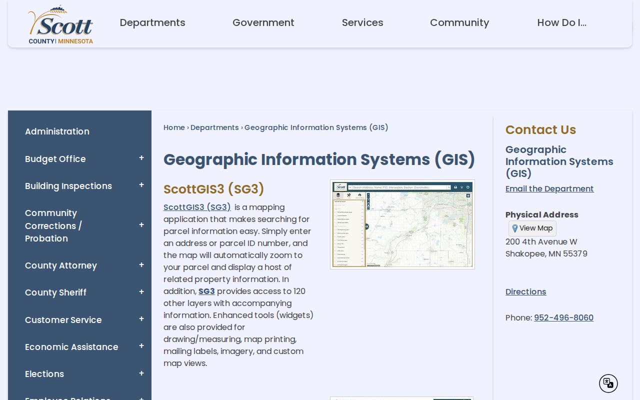
The GIS view is a spatial index. Click a surrounding parcel, save its PIN and map date, then verify any record through the responsible county office.
Map a Shakopee Block
Start with one complete address and preserve its directional, street type, and unit information. The county property instructions use the house number plus the first few street characters, or a nine-digit PIN, but not both. The result can show a situs address, plat, lot, block, section-township-range, tax district, legal description, and dated values. The legal description is a useful map bridge, yet the county warns against using the portal’s text for legal documents.
- Find the address in ScottGIS3 and note the parcel boundary and nearby PINs.
- Open each parcel in Property Information and record the displayed owner-related role with its tax year.
- Compare lots, blocks, plats, roads, and districts before deciding which parcels are truly adjacent.
- Use the record date and source label; do not convert a parcel field into a current household claim.
The captured property interface also offers Neighborhood Search and Neighborhood Sales. Those actions are parcel and market-comparison tools, not a verified list of Shakopee neighbors.
Keep Shakopee Block Geography Separate
A Shakopee address can carry several valid geographic labels. A county sample parcel has a Shakopee 55379 address while its municipal and school fields identify Prior Lake. Preserve the situs address, ZIP, tax municipality, school district, and parcel geography as separate fields. This local quirk matters when comparing nearby parcels, because similar postal labels do not guarantee the same government or school boundary.
The city zoning map can add land-use context around the block. Zoning is not a people record. It can explain why adjoining parcels differ in use, but it cannot identify residents or establish unit occupancy.
Shakopee Neighbor Community Contacts
Association pages provide community context when their information is public and dated. Evergreen Shakopee describes 11 buildings on Polk Street and 13th Avenue West, 43 units, a PO Box, board-meeting information, and member-only documents. West Park Hills describes 39 quads, 156 units, a self-managed nine-member board, and first-Tuesday meetings near Bloomington Ferry Road and Old Shakopee Road. Those descriptions identify association geography, not a public roster of neighbors.
Evergreen Shakopee HOA
Official association page
Public neighborhood and meeting information only.
West Park Hills HOA
Official association page
Use posted meeting context, not membership assumptions.
Evergreen Shakopee’s public association site is captured below as an example of the public community layer.
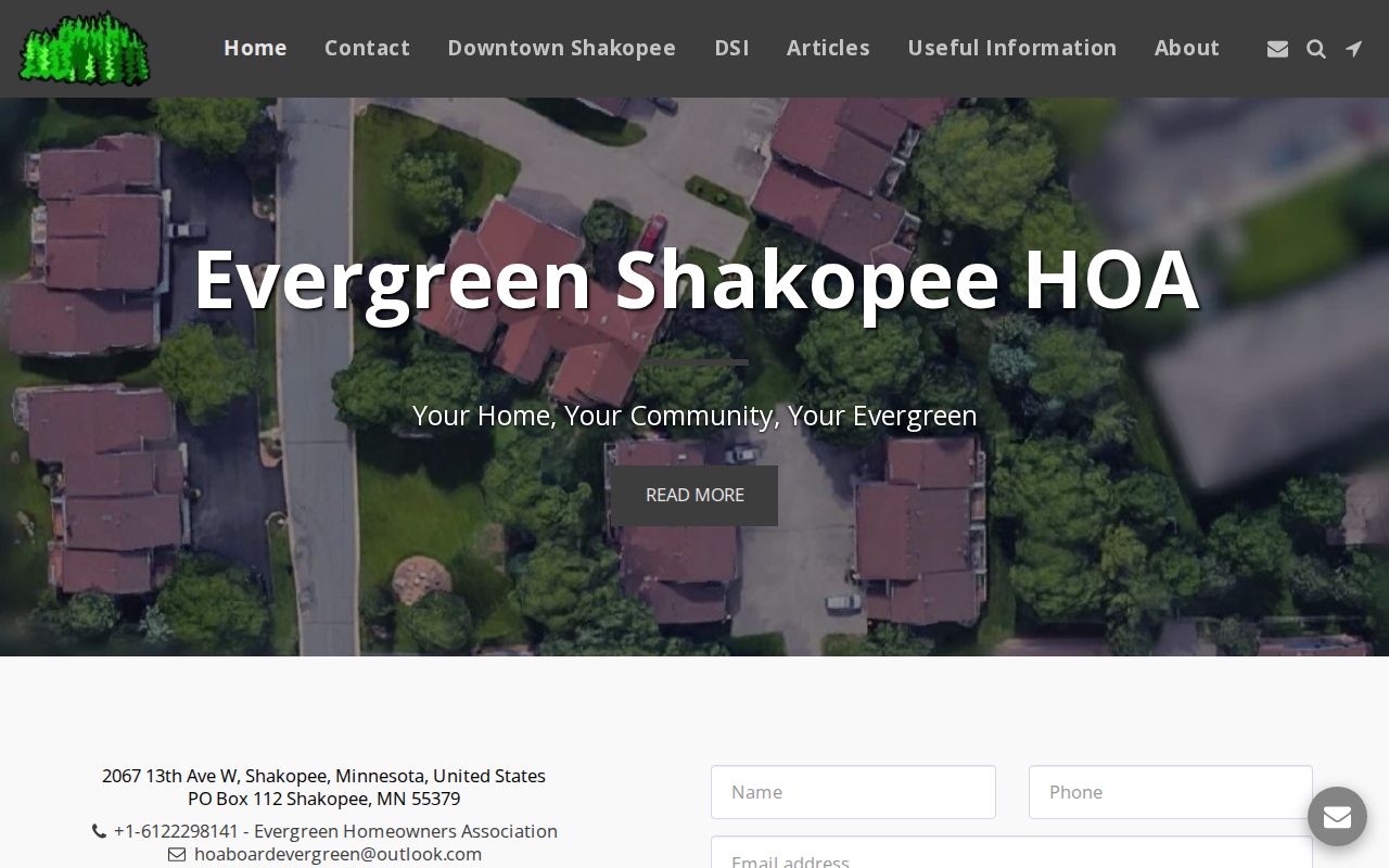
Public meeting notices can help a reader locate an association channel, but member-only files and unit-level conclusions should remain off limits.
Use Shakopee Board Mentions by Date
City boards and commissions offer a different, limited record layer. The city lists Planning Commission and Board of Appeals activity, Police Civil Service, Shakopee Public Utilities Commission, public agendas and minutes, member names, and meeting schedules. A named person in an agenda is evidence of that dated public role, not a statement of current address. The same caution applies to youth associations and neighborhood-group mentions in public records.
Shakopee’s boards and commissions page shows the official route for those materials.
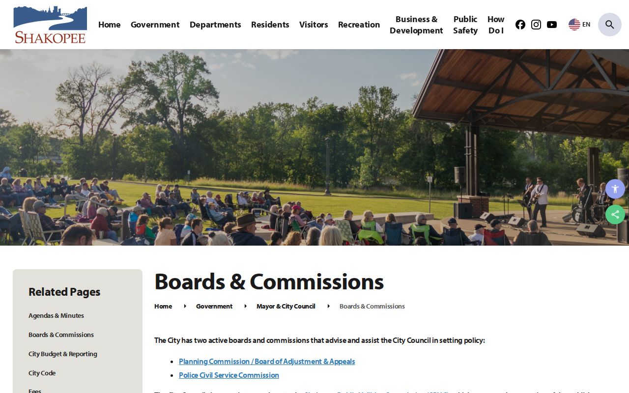
Save the meeting date, body, and stated role. That avoids treating an old civic appearance as a current-neighbor result.
Compare Shakopee Neighbor Sources
Official records and commercial people-finder categories differ in provenance and purpose. County and city records identify the custodian, record type, and date. Commercial tools may combine inputs from many sources, but a compiled result still needs source-level verification. Neither category can safely fill gaps by guessing about who is inside a home.
| Official record | Commercial category | Best practice |
|---|---|---|
| Names a custodian, record role, and date | May combine or repeat data | Return to the original public record |
| Has access and confidentiality rules | May have changing removal processes | Respect opt-outs and protected data |
| Can show a parcel relationship | May imply a household link | Do not infer current occupancy |
Shakopee Neighbors and Privacy
Crime-map entries are block-level incident information with exclusions and disclaimers, not resident records. Do not connect an incident marker to a nearby person or infer responsibility. Safe at Home participants may use a substitute mailing address. Never use a map, parcel, or public address to guess their physical location. Private voter fields, restricted court and vital data, and unit-level household information are outside a lawful neighbor search.
For a careful block record, keep a small note with the address searched, date, portal, displayed parcel or civic role, and the next official source to check. A map boundary may change with a layer update, and property data is labeled reference-only by the county. When a record contains conflicting geography, retain each field instead of choosing the label that looks most familiar. That practice is especially useful near Shakopee, where postal, municipal, and school labels can differ on the same official parcel card. It also prevents a property or map result from being repeated as an unsupported claim about a nearby household, particularly when residents move or records refresh at different times. Check the custodian directly when an important factual discrepancy remains.
Note: If a needed city-held record is not online, request its public portion from the responsible custodian and accept any classification limit.